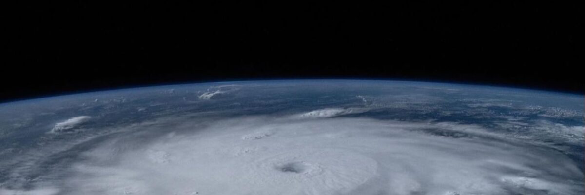
Sections of southern and eastern parishes are already feeling the effects of Hurricane Beryl with reports of rain in some areas.
This as the outer bands of the Category 4 hurricane pass over the south coast.
The MET Office says rainfall associated with the core of the hurricane should start to impact the eastern end of the island within the next 3 hours.
Strong winds reaching near tropical storm force are expected to reach Jamaica as early as 9:00 this morning.
These will increase quickly to near hurricane strength as the centre of Beryl remains close to the island throughout the day.
Dangerous storm surges raising water levels by as much as 3 metres and battering waves, will also be generated along coastal areas of the island.
Hurricane Beryl is forecast to be at or near major hurricane intensity when it reaches Jamaica later today.
The storm is moving toward the west-north-west and this general motion should continue through today, followed by a turn more toward the west tonight or tomorrow.
The eye of Hurricane Beryl is expected to move quickly towards the south-eastern coast of Jamaica this morning.
On this forecast track, the centre of the hurricane is expected to be passing near or over the island’s southern coastline between 10:00 A.M., and 8:00 P.M., today.
A hurricane warning remains in effect for Jamaica.
The next bulletin on this system will be issued at 8:00 A.M.


